- iOS
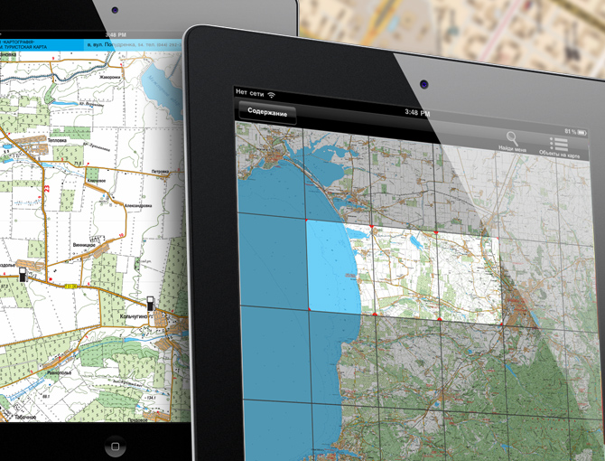


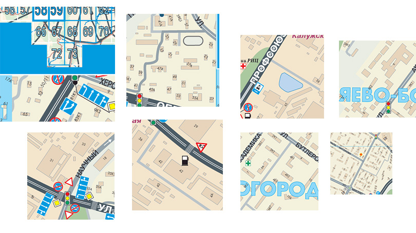
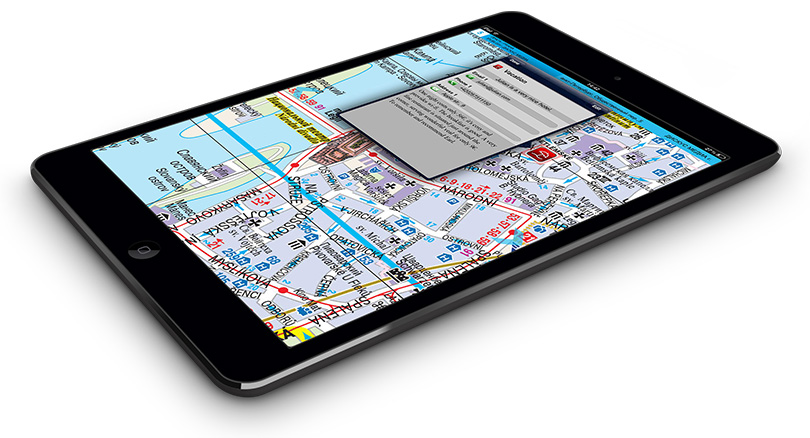
"All maps" software was awarded with the 2nd place at the cartographic conference IMTA 2012 in Dresden. It represents navigation app based on atlases issued by AGT Geocenter. The app works offline. Besides navigation it contains a great number of features for working with points of interest - grouping of points by layers, detailed information per each point, detailed search.
PROJECT FEATURES
YOU MAY BE INTERESTED IN OTHER PROJECTS
REVIEW
REVIEW
REVIEW
LET'S DISCUSS YOUR PROJECT
Thank you!
We shall review your request and reply in the nearest time!