- Web


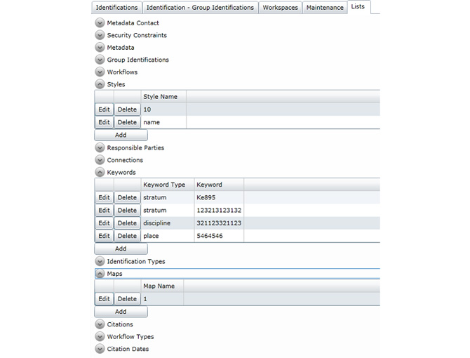
SIQM represents infrastructure designed for storage and modification of geogrphic meta and vector data. Allows to modify different geographic entities (layers, grouping of layers, styles, etc.) stored in database. Layer recognition system is implemented. Compatible with ISO 19115 standard.
YOU MAY BE INTERESTED IN OTHER PROJECTS

REVIEW

REVIEW

REVIEW
LET'S DISCUSS YOUR PROJECT
Thank you!
We shall review your request and reply in the nearest time!